This post illustrates the Gilpin Gold Tram hike that follows the right of way south of the engine house around Maryland Mountain to Castle Rock. The hike starts at the official trailhead of the Maryland Mountain park.
This is a great hike near Central City CO and a great hike near Black Hawk CO.
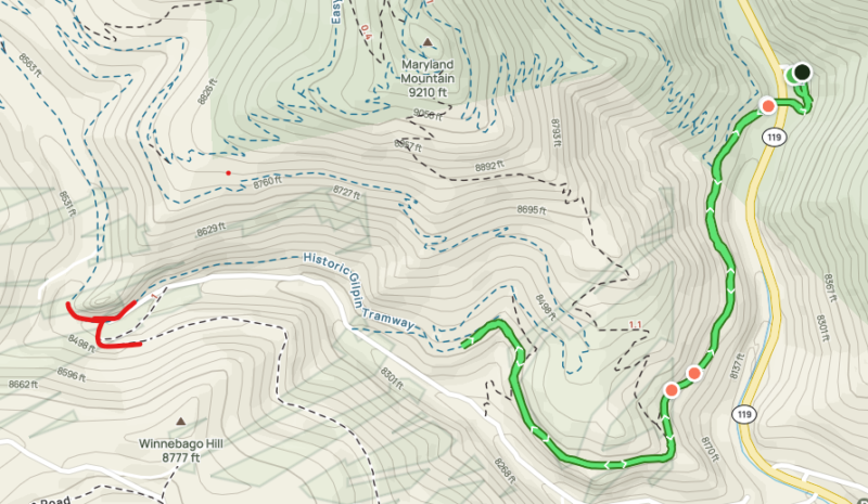
Map
This is a map from my AllTrails hike. You can look at the hike here. The green shows how far we hiked that day – a total of 2.24 miles out and back. This is an easy hike on the old roadbed which is in surprisingly good shape. The elevation at the parking lot is 8200′ which might pose a challenge to you “flat-landers”. The hike starts at the black dot which is the parking lot. We didn’t make it to Castle rock but if you keep going another mile you will get to the area marked in red (lower left corner). Here the Gilpin had a turnout, going to the left you cross the creek and start walking around Winnebago Hill (see this hike). If you turn to the right it bends around Castle Rock.
Trail Head
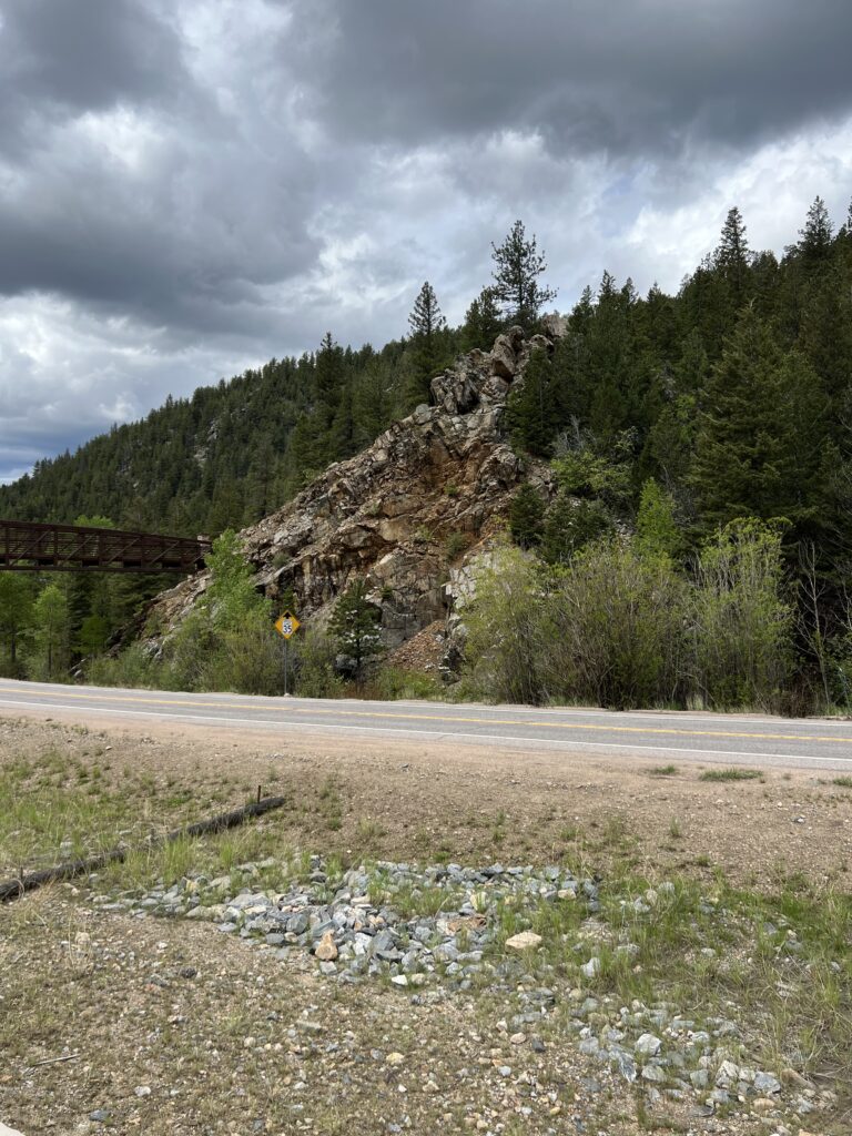
This is the view from the parking lot. The old tramway emerged from beyond this rock formation approximately where the bridge is and curved around the rocks on a trestle until it reached ground level and the engine shed area.
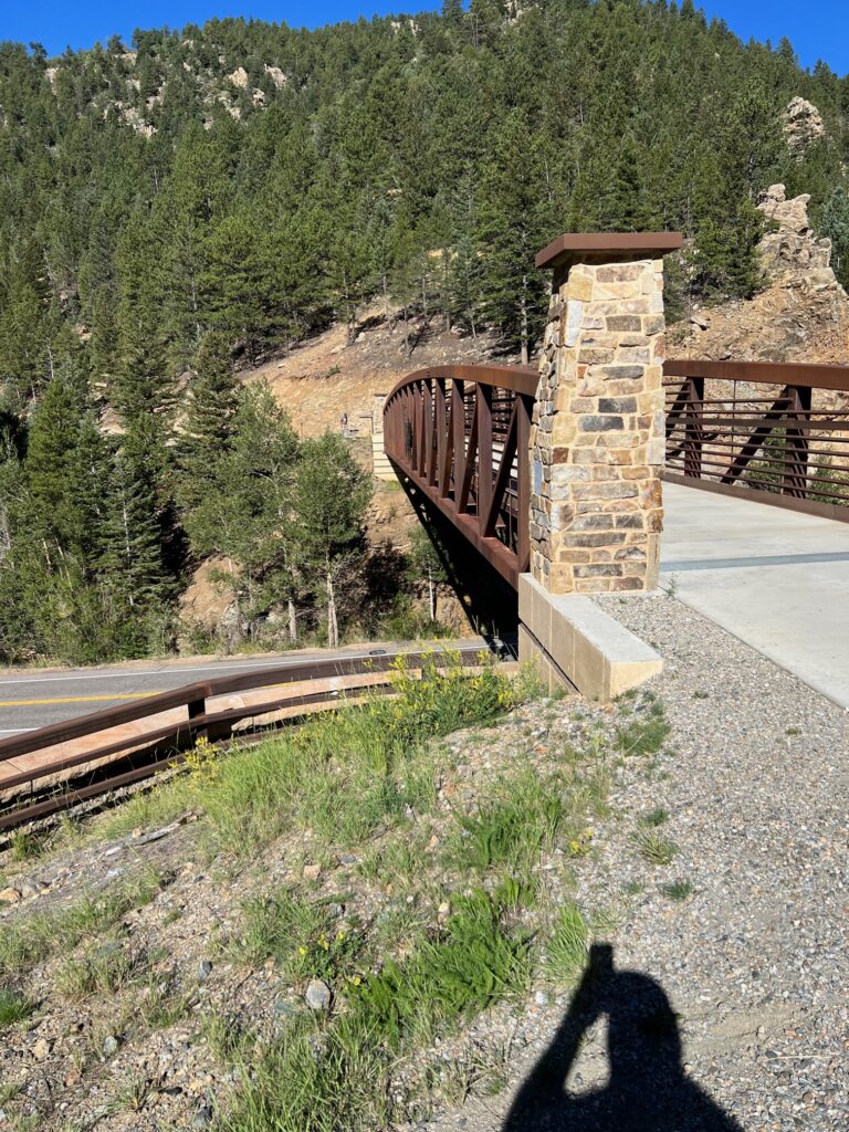
This is a view as you begin to walk across the bridge.
Once across the bridge you see the original roadbed which is lower than the current path.
Hike
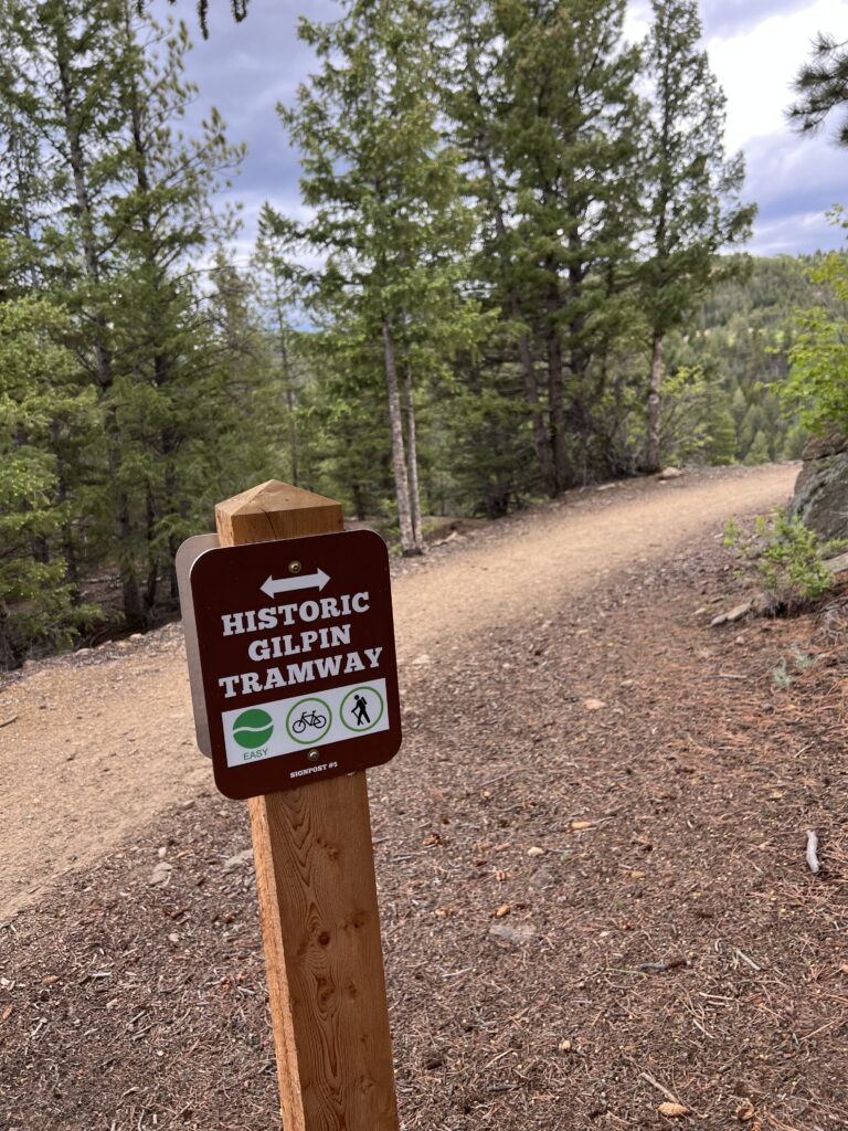
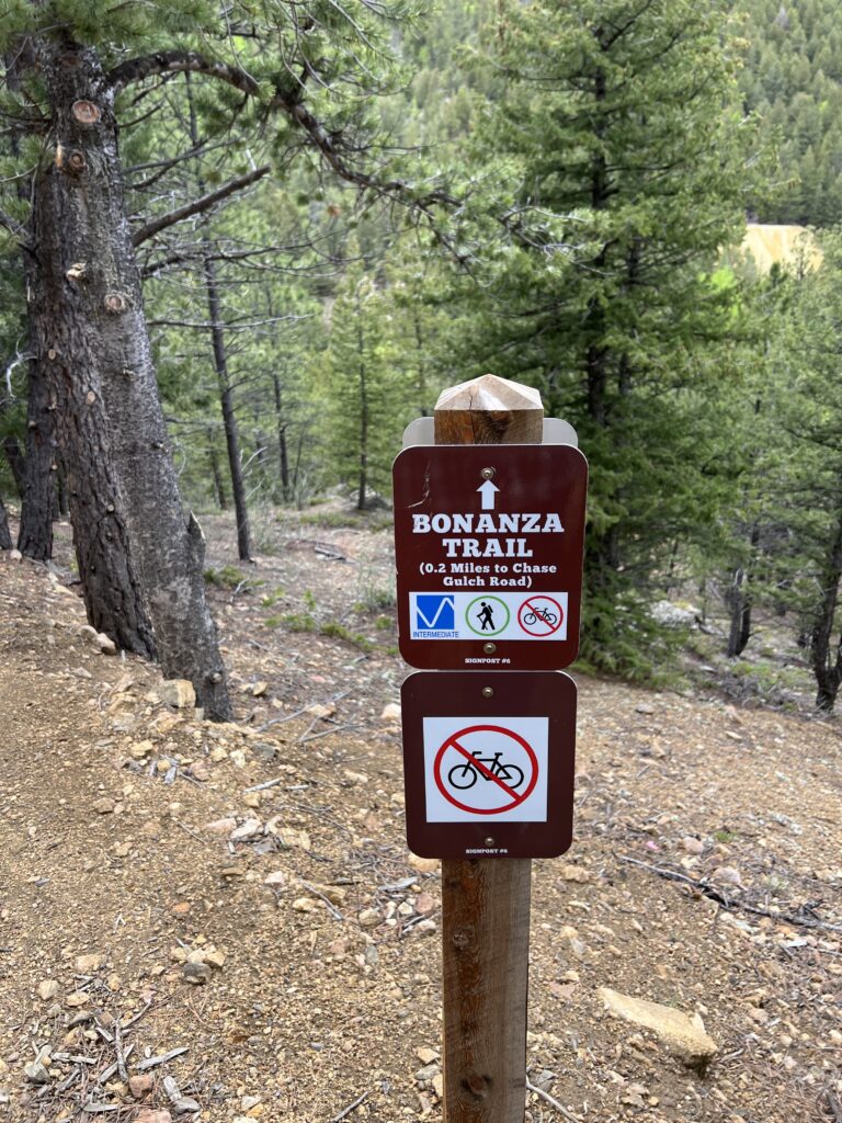
The sign lets us know we’re going in the right direction.
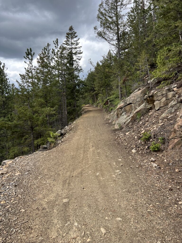
On down the roadbed. This is mainly a trail for hikers but you might encounter some mountain bikers. The park has many trails that are popular with mountain bikers.
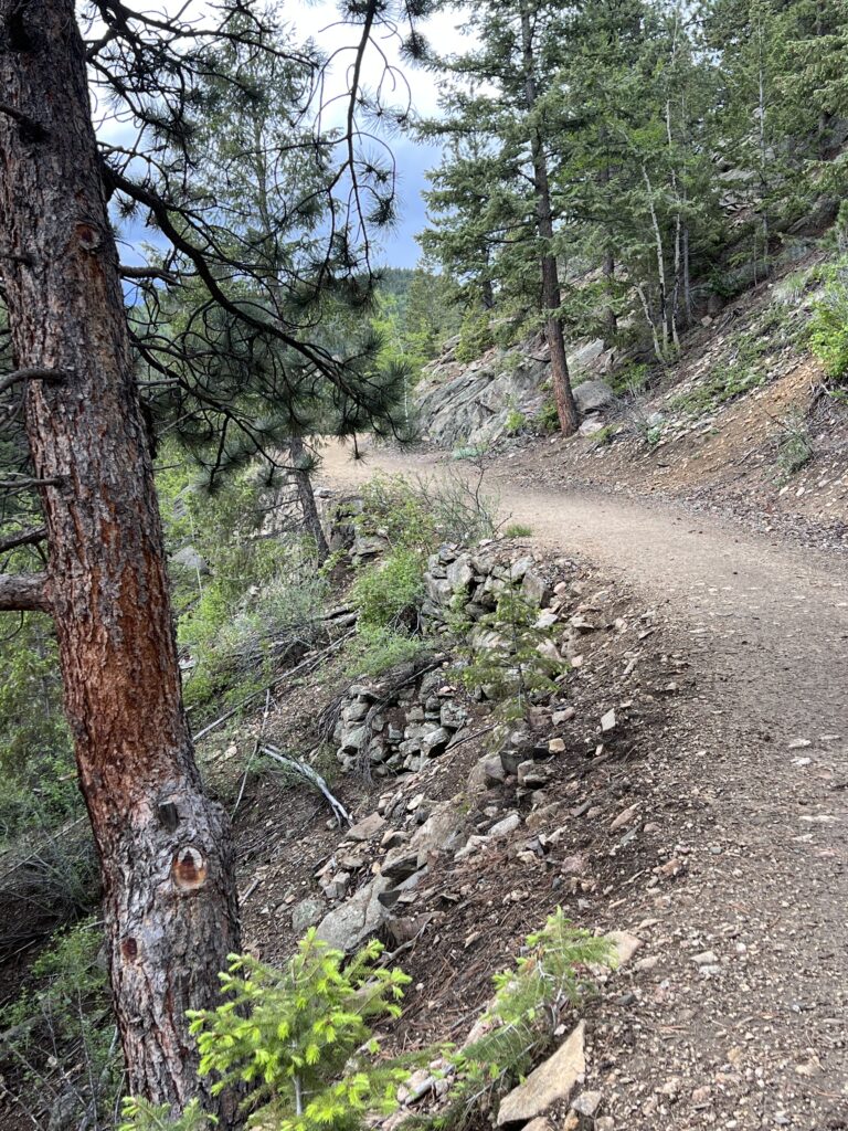
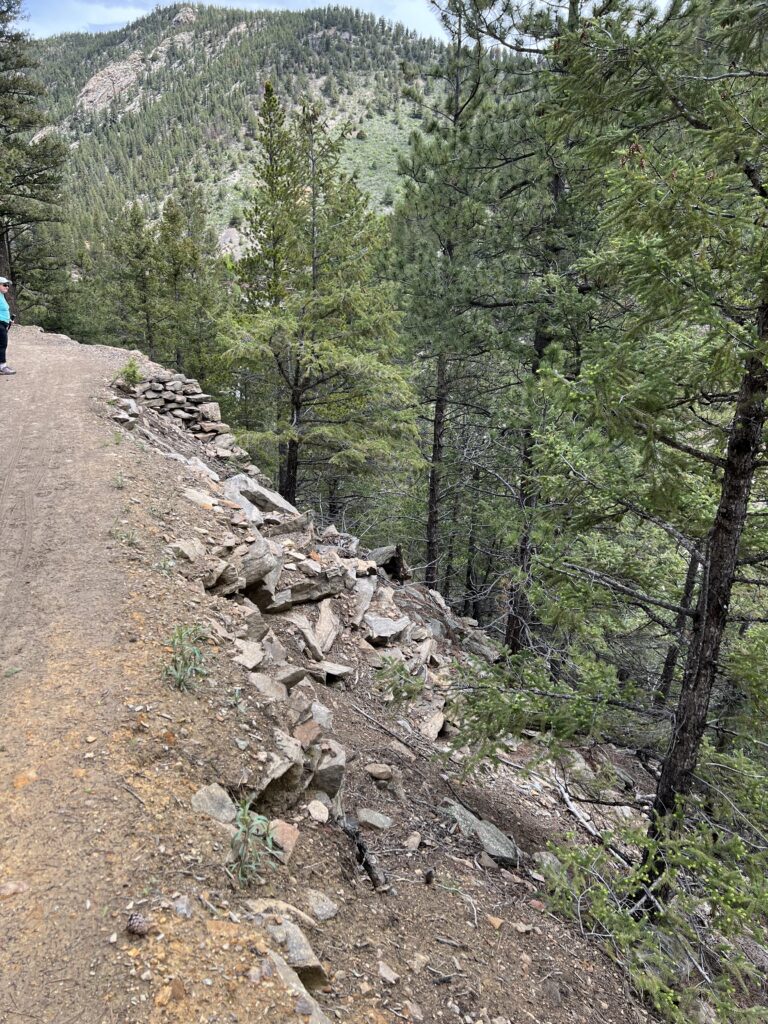
The roadbed has some small rock work here.
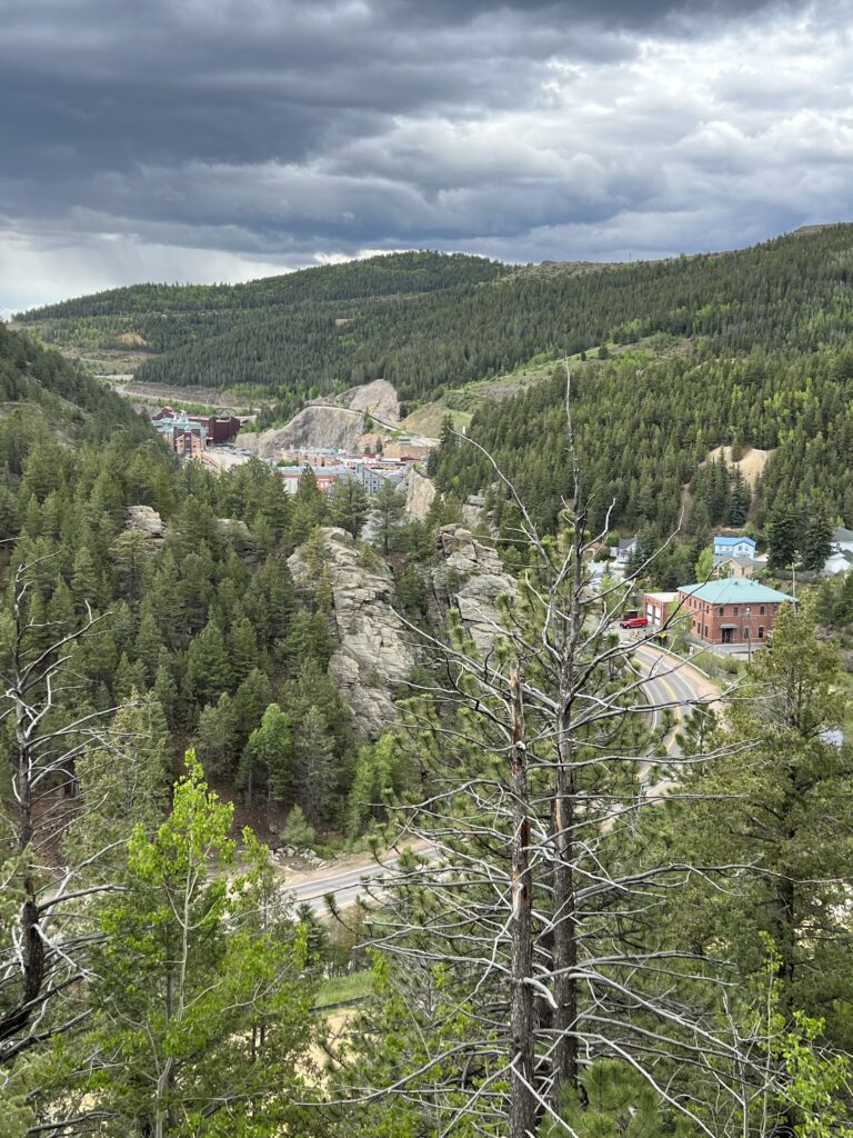
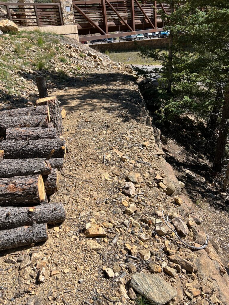
This view is looking down on Blackhawk Colorado. During the Gilpin heyday there were many mills here. This is where the Colorado Central 3′-gauge railroad had some dual gauge trackage with the Gilpin.
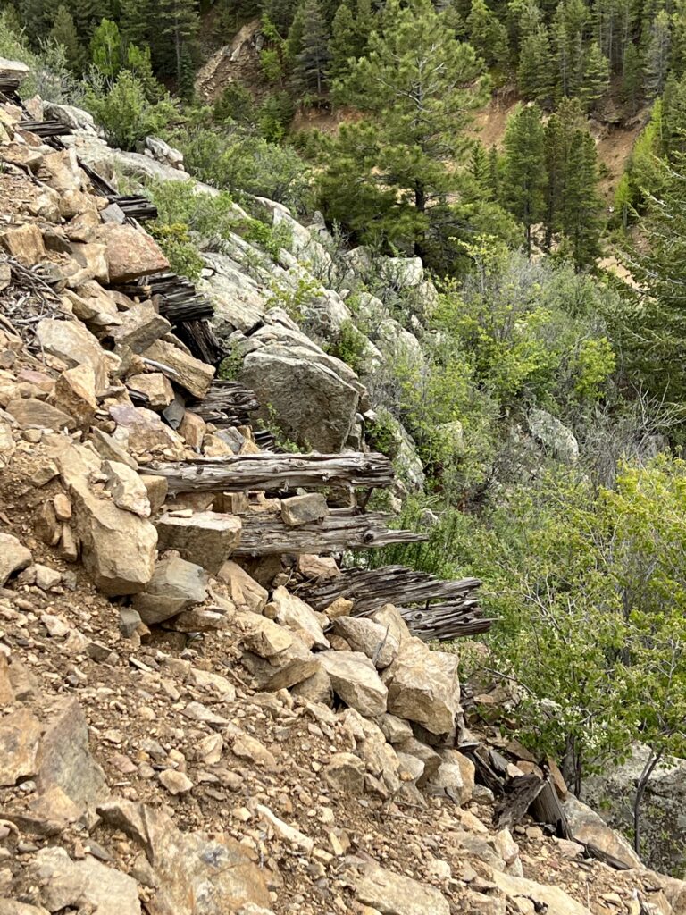
Here you can see what appears to be the remains of an old trestle bridge that was filled in with rock. This was a common practice – put up a quick trestle bridge to span some gap and come back later and fill it in with rock.
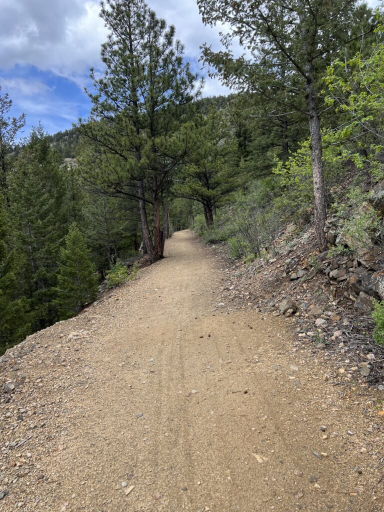
More roadbed. Amazing what good shape its in.
This is a path that leads down to the bottom of Chase Gulch. From there can hike an old wagon trail along Chase Gulch. We will stick to the Tramway hike for today. Hiking up Chase Gulch is described in this post.
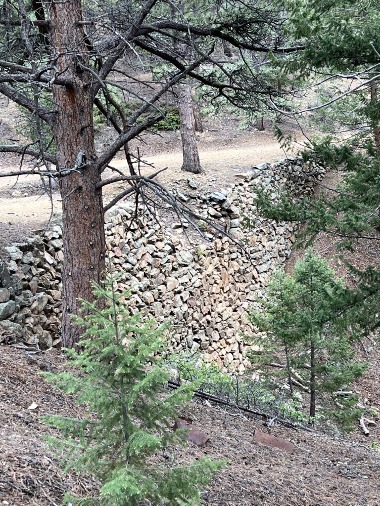
More rock work. It’s amazing how good this still looks after 140 years. These are hand laid rocks with no mortar.
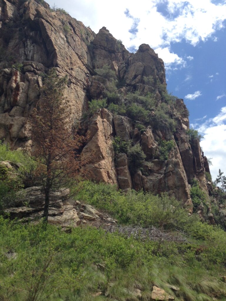
If you walk along another mile past where our walk ended you will get to Castle Rock which is this huge rock formation. This is where the Gilpin crossed the creek and headed up and around Winnebago Hill.
And Finally…
Thanks for visiting my site and traveling along with us on the Gilpin Gold Tram hike. For more information on modeling the Gilpin check out these posts.