This post illustrates the Gilpin Gold Tram right of way north of the engine house to Wheeler Mill and Fullerton Mill using the Millsite Trail. You can hike this route easily starting from the Hidden Treasure Trailhead and the Millsite Trail.
The trail head and the park are discussed in more detail here.
Maps
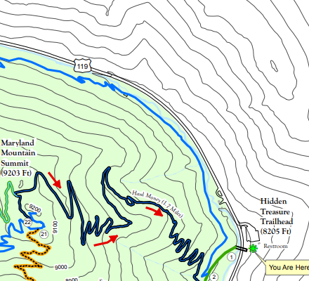
In the park map above you can see the trailhead in the lower right hand corner. You cross the bridge over 119 and head south along the green line until you reach the sign for the MillSite trail. The MillSite trail doubles back and follows the North Clear Creek branch of the Gilpin Gold Tram and is shown in blue.
You can download the park map from here…
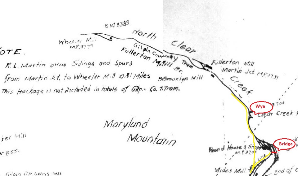
This illustration is part of a larger historical map of the Gilpin Gold Tram and illustrates where the tracks were. In the lower right hand corner is the approximate location of the bridge over 119. The yellow line is the trail which at first heads south. Then you see the yellow line cut back and head north up Clear Creek. The illustration says “Round House & Shops” but in fact the Gilpin didn’t have a roundhouse, only an old barn converted into an engine shed. A little north you can see the “wye” which is an arrangement of 3 switches that allowed the engineers to turn an engine around.
Ok, let’s start hiking!
Hike
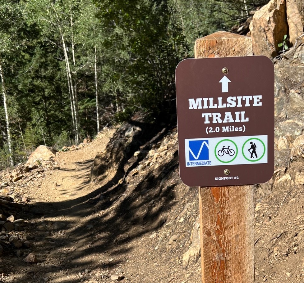
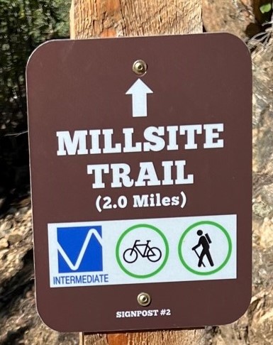
After crossing the bridge from the parking lot you head along the trail a short way until you get the MillSite trail sign. Here the trail cuts back and heads north. This isn’t part of the Gilpin trackage but eventually you get back to the road bed heading north towards the wye and the two mills.
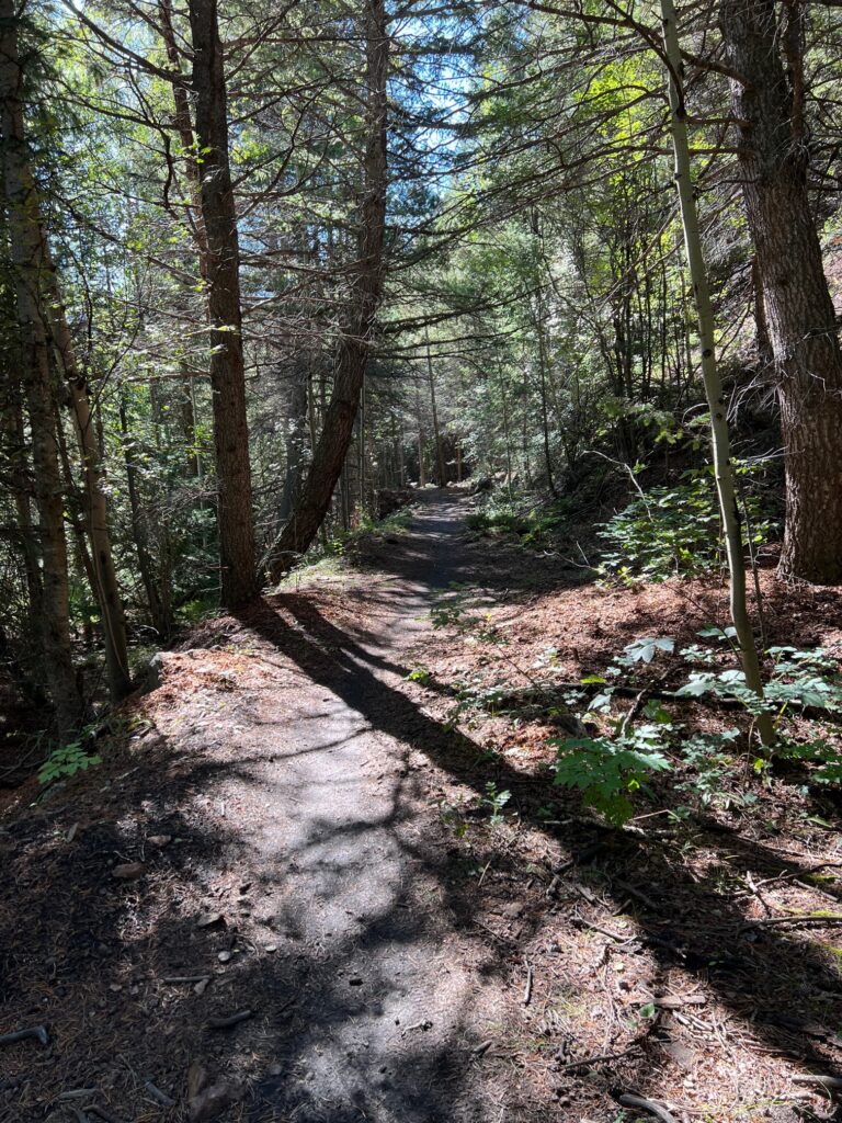
The roadbed is really pretty rough along this route and it’s hard to imagine even a two foot gauge railway here.
You can see the rock work built up to hold the roadbed in place with Clear Creek just down the hill to the left.
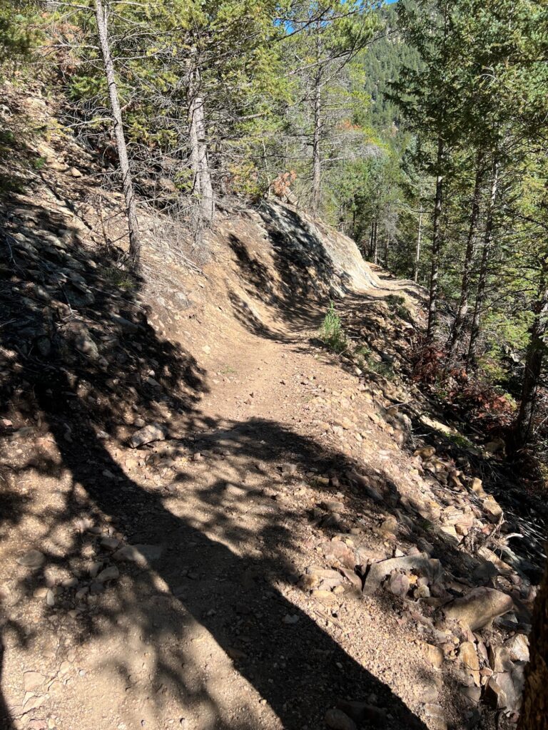
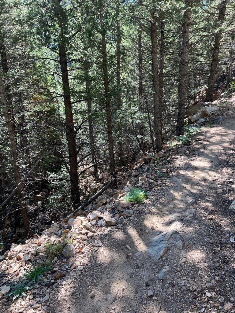
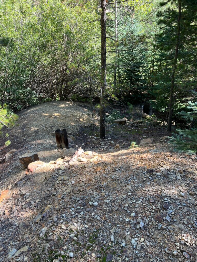
More trail but honestly at times I’m not sure if we’re walking along original right of way or reworked trails suitable for mountain biking.

Here we’ve reached the location where the “wye” was located. You can definitely see the remains of rockwork and some trestle bents.
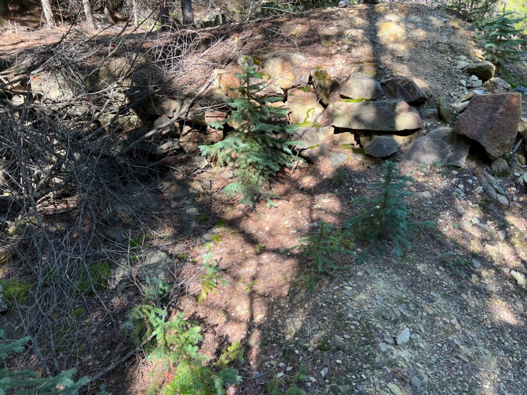
Rock work where the line branched off to the right towards Clear Creek. This would be one leg of the “wye”.
More evidence of the “wye”.
Fullerton and Wheeler Mill
Still to come… We stopped hiking at some point north of here and didn’t make it to the mill locations. Someday I’ll go back to finish this route and update this post.
And Finally…
Thanks for visiting my site and traveling along with us on the Gilpin Gold Tram right of way using the Millsite Trail. For more information on modeling the Gilpin check out these posts.